Create Advanced Maps
& Analyze Geographic Data

Map Maker is a powerful tool to make & share custom maps.

Plot coordinates (points), customize location marker icons and map styles, perform geospatial analysis, embed maps & more.

MAPS - Advanced Map Maker
75,000+ Companies, Governments
& GIS Professionals Use Map Maker
Used by Uber
Used by Microsoft
Miami-Dade County
MIT
Amazon

Make Maps – Quick & Easy

Advanced Features. Intuitive Interface.

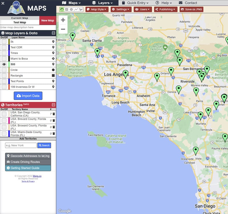
MAPS Map Maker User Interface

Map Maker's intuitive interface allows you to make custom maps, quickly and painlessly.

Rapidly import coordinates & geospatial data, customize map appearance and settings, then easily publish or share your maps with others.

Map Data Analysis

Data Analysis Tools

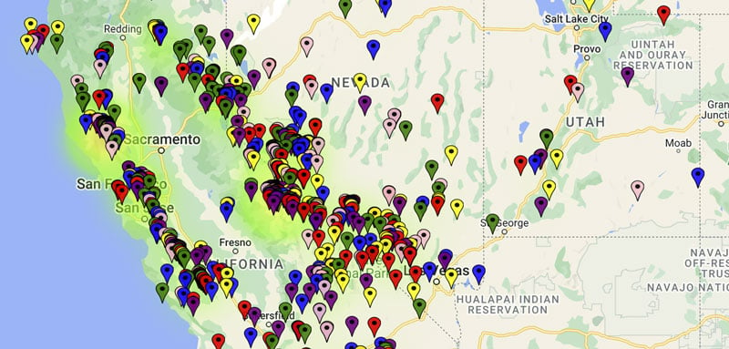
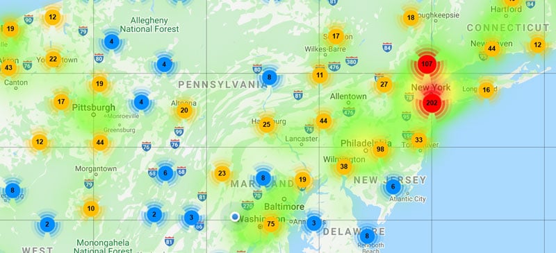
Map Maker includes a suite of data analysis tools. Heatmaps and data clustering enable you to quickly visualize the density and dispersion of your datapoints. These advanced features dynamically adjust according to zoom level and data filters that you define, making it easier analyze your data in-place.

Heatmaps and clustering are enabled a per-layer basis, affording you the flexibility of applying these analysis tools to each dataset independently.

Quickly Import Data

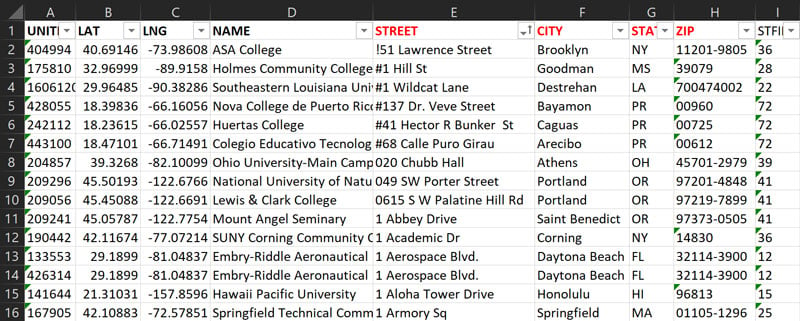
Rapidly import location data from your existing spreadsheet files, or simply copy/paste your locations.

You can also import custom data fields for each location, then dynamically filter map data based on values in those custom fields. This allows you to quickly dig into data without having to edit and re-upload spreadsheets.

Excel CSV Location Import Example

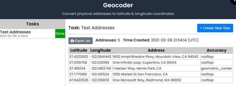
Batch Geocoding

Map Maker's advanced geocoder rapidly converts physical addresses into latitude & longitude geographic coordinates, quantifying the accuracy level for each result.

Geocoded results can be downloaded in .csv spreadsheet format, allowing you to use the geocoded data however you like.

We also provide a separate geocoding API service for forward and reverse geocoding.

Geocoder Task Results
Map Maker   Documentation

Alert